Groundwater Table Identification Using Electrical Resistivity Tomography (ERT) and Vertical Electrical Sounding (VES), Mahout, Oman
The project description
PUBLISHED
20 January 2022
SERVICES
Groundwater Exploration
INDUSTRY
OIL & GAS
Overview
This case study focuses on identifying and mapping the groundwater table in an oil and gas field located in Mahout, Oman. Two geophysical methods were employed:
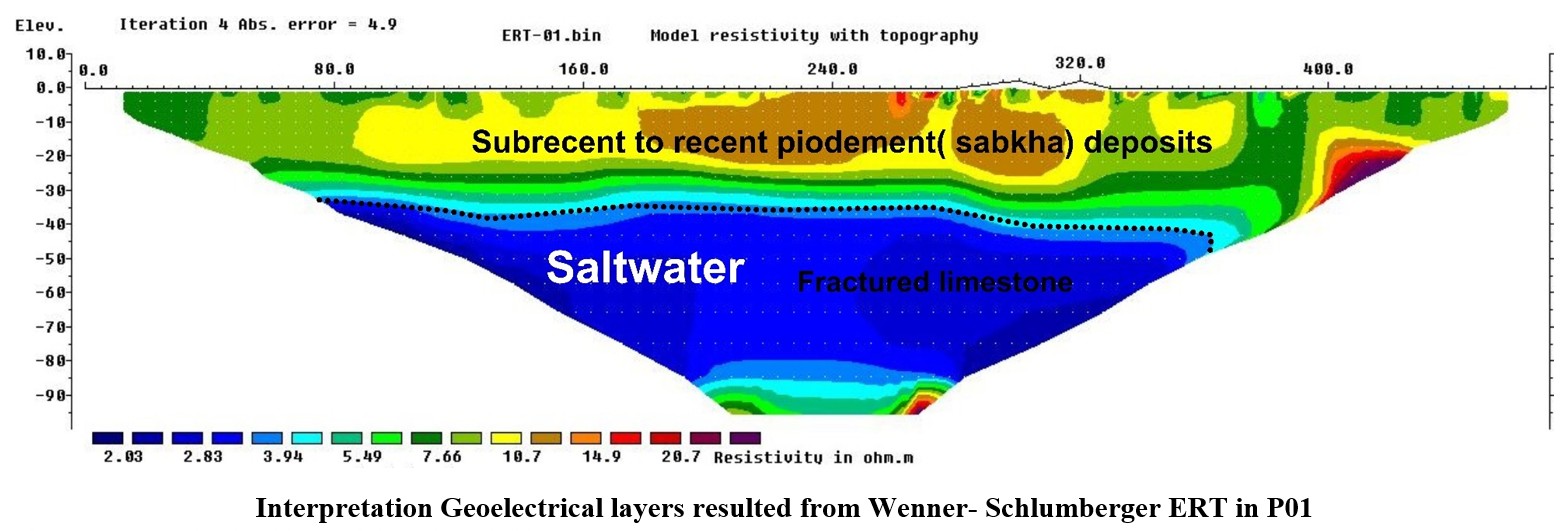
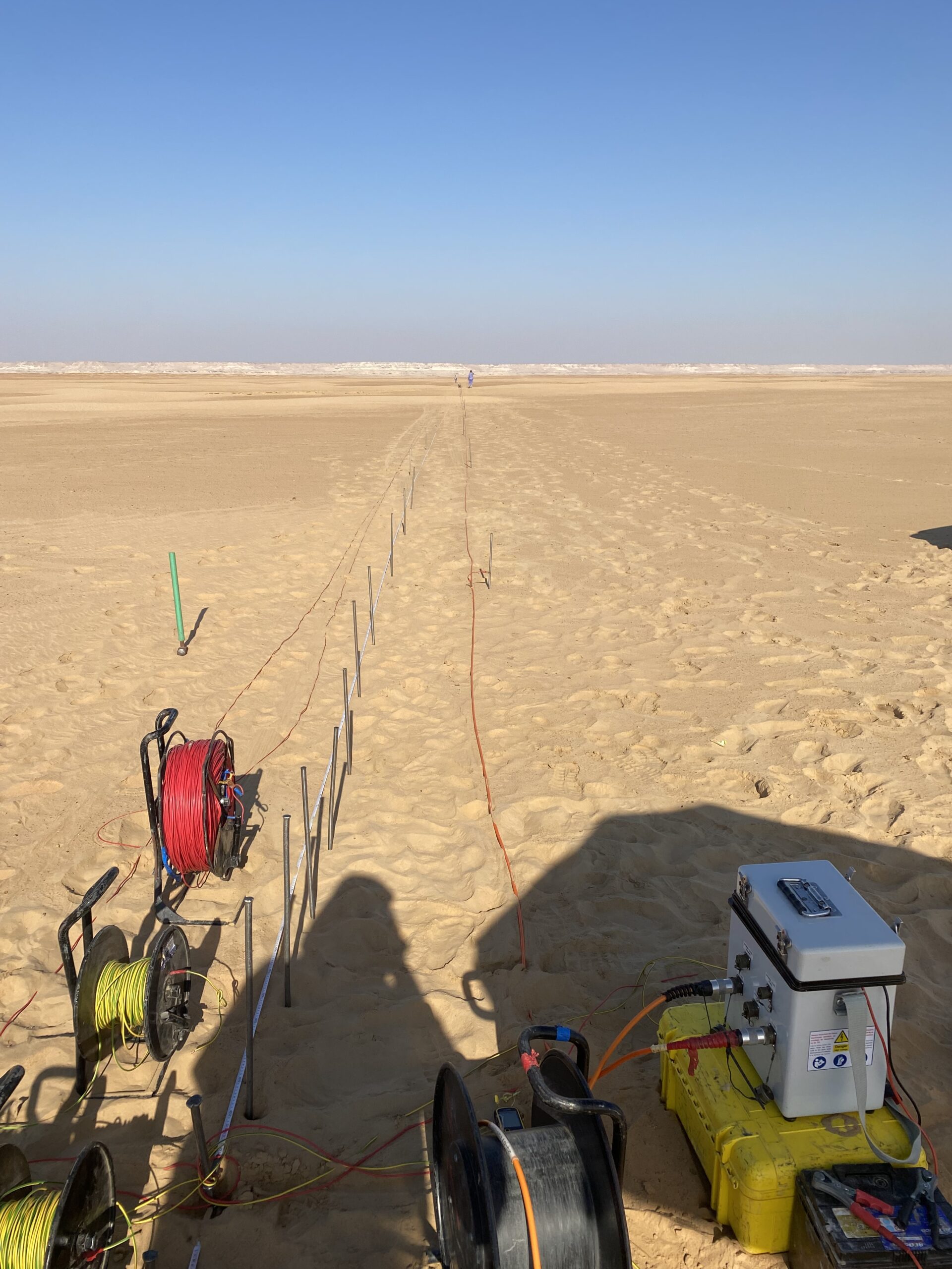
Electrical Resistivity Tomography (ERT): Used to investigate subsurface features up to a depth of 100 meters.
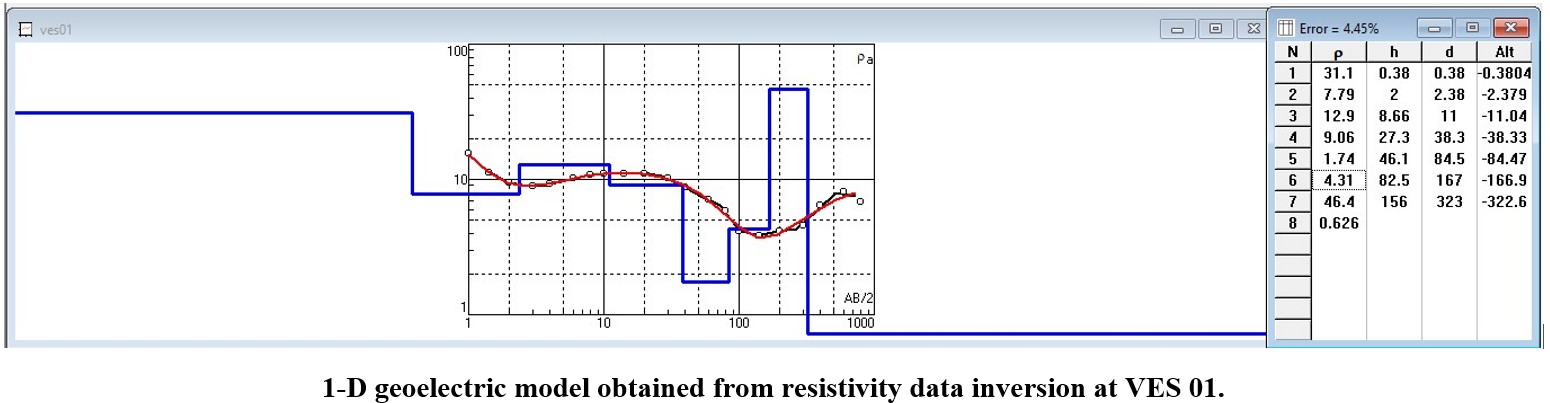
Vertical Electrical Sounding (VES): Applied at each point to explore depths up to 250 meters.
These methods provided valuable insights into the subsurface resistivity distribution, helping to delineate groundwater levels across the study area.
Methodology
Electrical Resistivity Tomography (ERT)
Vertical Electrical Sounding (VES)
Outcomes
1D and 2D Resistivity Models – Detailed subsurface resistivity profiles were generated.
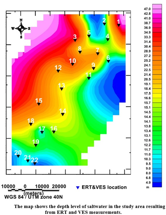
Groundwater Level Mapping – Identification and mapping of groundwater levels .